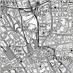
...pretty safe in Islington then, even though they do have the odd canal...Anyway, according to rumours going round "the Wharf" at the moment, the tidal surge is due to hit the barrier at about 1600hrs...now, compare the above map to where I am currently sat -

- oo-er! Rather a stark difference, however, note the purple lines, these are flood defences designed to stop us all drowning like rats in the London underground on the way home (just to serve us all right for working on the London Floodplane)...included among them is the mighty Thames Barrier (as I mentioned already), which gives London an odds of flooding of 1:2000 years (about 0.05% per year), add to that the fact that the surge is about 8 inches lower at the moment than expected previously (according to the latest measurements), and we will probably be just fine...goodness knows what the Romans used to do though, all get into boats probably... ;)
Anyway, if you want to check your postcode for the possible need to swim back home from work tonight, here is the postcode checker...

2 comments:
You didn't drown did you? They never mentioned it on the news if you did ;) The waves looked pretty tho
Nope, we all survived, thank goodness... ;)
Post a Comment