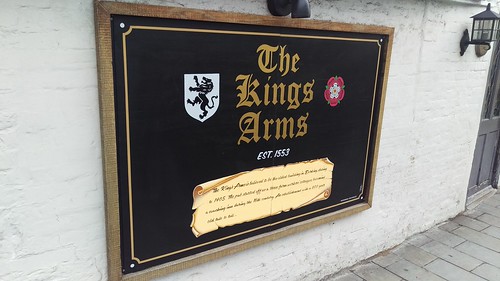
...is the Kings' Arms pub, local historians have managed to track the building it is housed in all the way back to when it was built in 1405 AD, and know it was converted into a coaching inn sometime during the 16th century, the oldest map I could find online was a (very neat) reproduction from 1649 which shows the pub clearly marked - right in the middle there (so it's definitely been around for a while!) -

- interestingly the area where I work is called "Parsonage Square", which if you look on the map above is because just across the road was the boundary of the Westcott pasonage lands (Westcott is two miles away from Dorking - so they had a *lot* of land) and the little bridge over Pipp Brook -
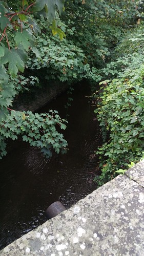
-on Station road was known as "Parsonage bridge" (back then at least) the above picture is me standing upon it looking down at the water...apparently my office was the tithe barn (presumably for the church and the parsonage both).

No comments:
Post a Comment